Scientists have begun a major coastal field campaign to support the next generation of European satellite missions, as the European Space Agency-funded SUPaCOOL project launches in situ sampling to prepare for Copernicus CHIME (hyperspectral imaging) and LSTM (Land Surface Temperature Monitoring).
These upcoming missions, designed to deliver high‑resolution measurements of ocean colour and temperature, are expected to transform how carbon and ecosystems are observed in coastal waters, but require simulated data to allow algorithms and users to be prepared even before the satellites are launched.
To meet this need, researchers have begun coordinated sampling campaigns in the Western English Channel and the Northern Adriatic Sea, collecting the high‑quality observations to develop and test new satellite‑based methods for tracking coastal carbon. These observations will form the backbone of a unique reference dataset designed to prepare scientists and policymakers for the next generation of Copernicus Earth observation missions.
Many of these measurements are collected using automated, ship‑mounted and moored systems, allowing scientists to resolve changes over distances of just tens of metres – the same scale targeted by CHIME and LSTM, the two Copernicus Expansion Missions scheduled for launch later this decade.
SUPaCOOL – Sentinel User Preparation and organic Carbon from Earth Observation between Ocean and Land – aims to improve how carbon stored in coastal waters is measured from space. Although coastal seas cover only a small fraction of the global ocean, they play a role in the global carbon cycle, acting both as a sink and a source of carbon dioxide.
Two coastlines, one scientific challenge
The newly launched field campaign focuses on river plumes, dynamic regions where freshwater, sediments, organic matter and nutrients from land mix with coastal seawater. These zones are hotspots for biological activity and carbon transformation, yet remain among the hardest environments to observe accurately using satellites.
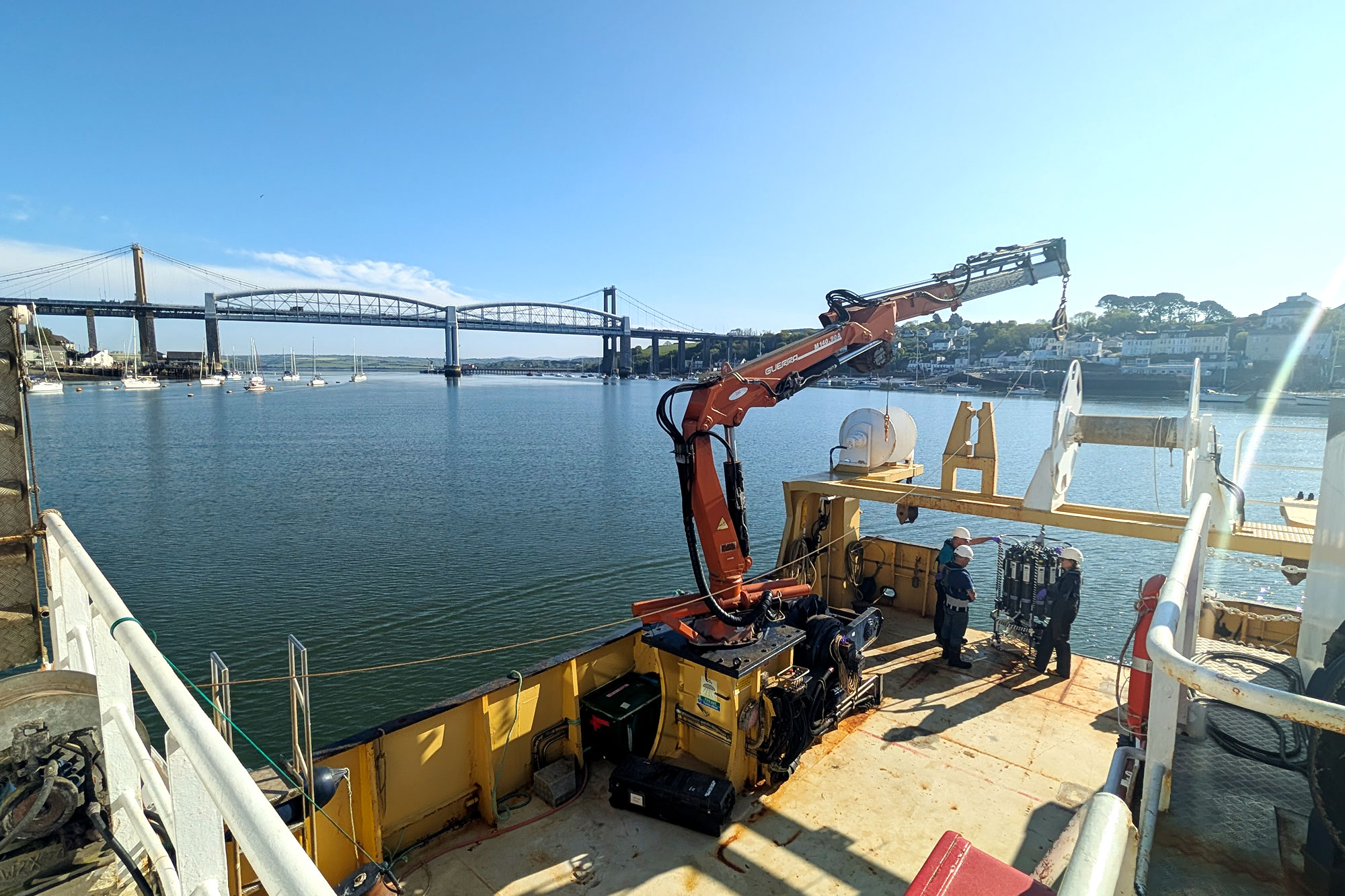
In the UK, scientists are working at the Western Channel Observatory (WCO), a long‑running marine monitoring site operated by Plymouth Marine Laboratory (PML). Sampling is centred on a transect from the Tamar estuary out to the open English Channel, capturing conditions from turbid river‑influenced waters through to clearer shelf seas. Over the coming months, research cruises will repeatedly combine water sampling with underway optical and biogeochemical measurements.
The CNR research vessel and members of the SUPaCOOL team on board during the Northern Adriatic sampling fieldwork.
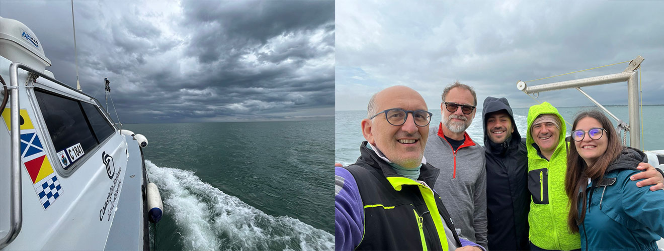
At the same time, a campaign is underway in the Northern Adriatic Sea, one of Europe’s most river‑influenced marine regions. Led by Italy’s National Research Council (CNR), scientists are sampling waters influenced by major rivers. Measurements are anchored around the Acqua Alta Oceanographic Tower, a well‑established offshore platform that supports long‑term ocean observations and advanced hyperspectral radiometry.
Together, these two sites capture both tidally dominated and non‑tidal coastal systems, providing a testbed for studying how organic carbon behaves under very different physical conditions.
From deck to satellite
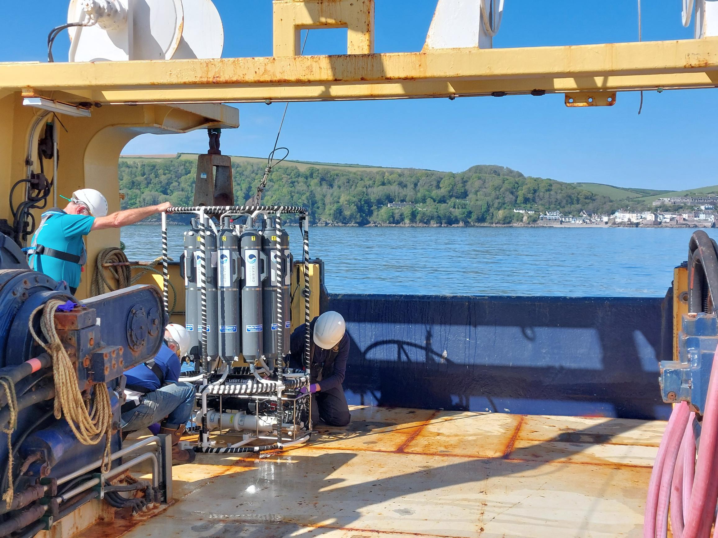 Members of the SUPaCOOL team collecting water samples from the rosette just off the coast on board the Plymouth Quest research vessel
During the campaign, researchers are collecting a broad set of measurements, including:
- Dissolved and particulate organic carbon
- Coloured and fluorescent dissolved organic matter
- Chlorophyll‑a and phytoplankton pigments
- Primary production and photosynthetic efficiency
- Hyperspectral water‑leaving reflectance
- Sea surface temperature, salinity and nutrients
Timelapse of the first sampling fieldwork in Plymouth UK. The Plymouth Quest research vessel navigates up the river Tamar to the Tamar bridge, just outside of the breakwater near Cawsand then out to the L4 sampling station in the open water.
Building a legacy dataset
The data collected during this first phase of fieldwork will form the validation core of the SUPaCOOL Reference Open Dataset. Combined with existing observations from previous expeditions, such as the Hyperspectral Bio-Optical Observations Sailing on Tara (HyperBOOST) project and long time series, the dataset will be made openly available under FAIR principles (Findable, Accessible, Interoperable, Reusable).
Beyond advancing carbon science, SUPaCOOL’s results are expected to support European environmental policy, including the EU Water Framework Directive and future Copernicus marine services, by improving monitoring of water quality, ecosystem health and climate‑relevant carbon fluxes.
Sampling will continue through 2026, capturing seasonal variability and, where possible, high‑impact events such as river floods. As the fieldwork gets underway, the project marks an important step towards closing one of the major gaps in Earth observation: understanding the carbon cycle where land and ocean meet.
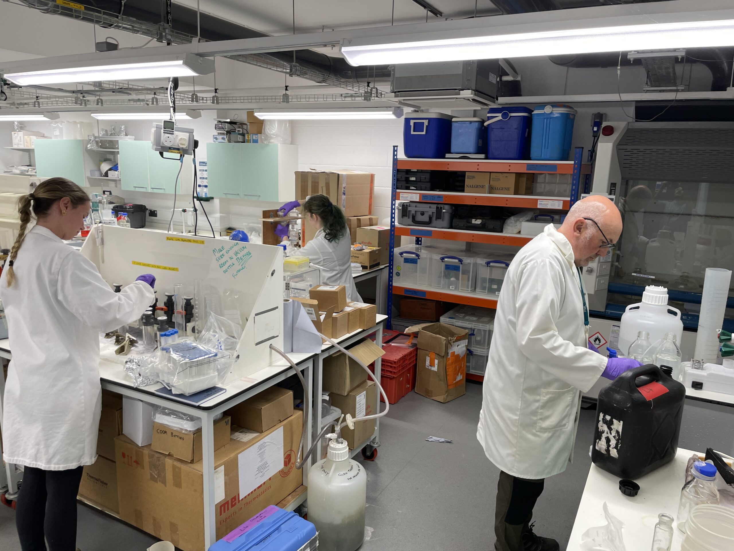
The team process the water samples at Plymouth Marine Laboratory
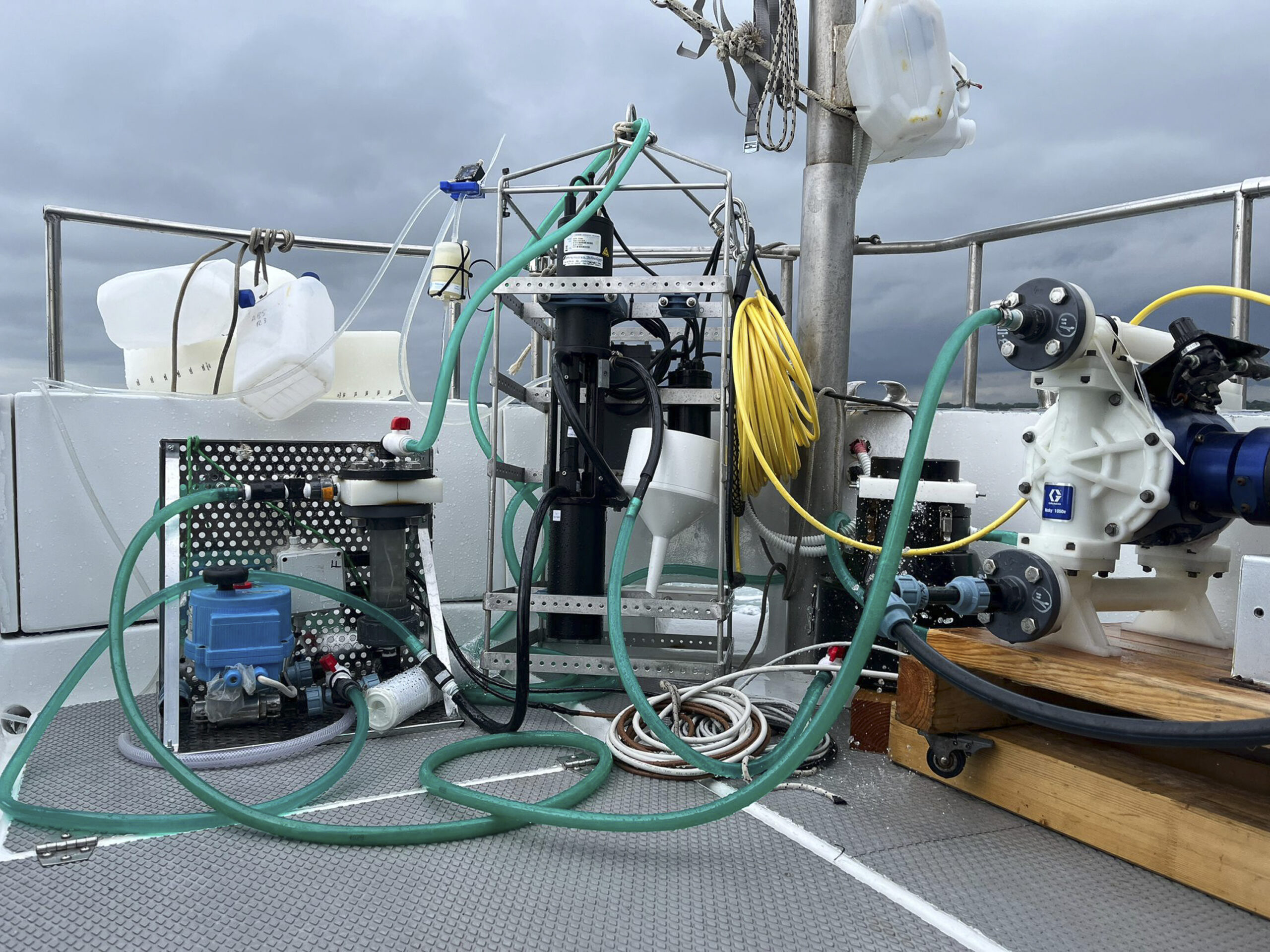
Sampling equipment used during the Northern Adriatic sampling