News
Tracking carbon at the coast: SUPaCOOL fieldwork gets underway
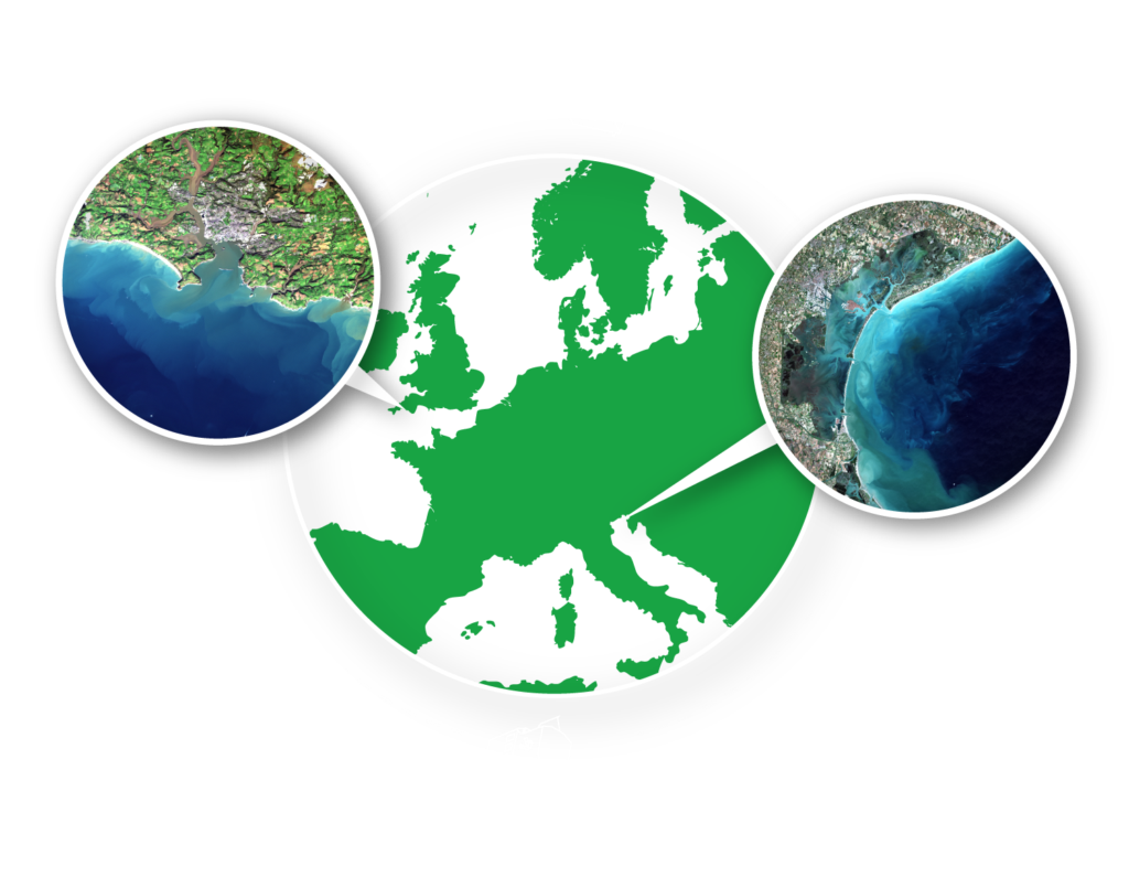
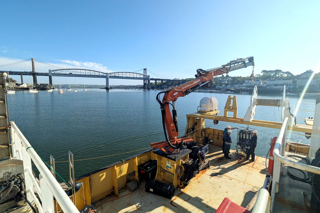
Scientists have begun an ambitious new programme of coastal fieldwork to better understand how carbon moves between land, rivers and the ocean, marking the start
Scientists have begun an ambitious new programme of coastal fieldwork to better understand how carbon moves between land, rivers and the ocean, marking the start